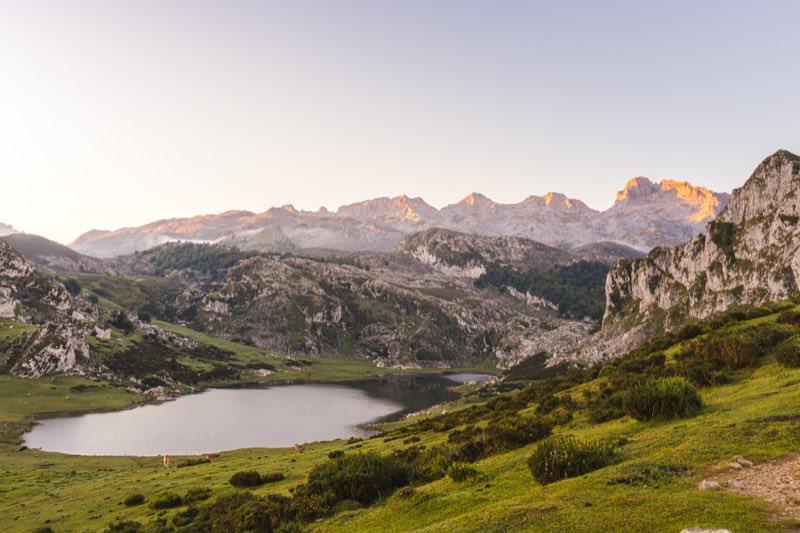
Explore the scenic Champsaur Valley on a self-guided hike with provided maps, GPX tracks, and baggage transfers for a seamless adventure.
Holiday Highlights:
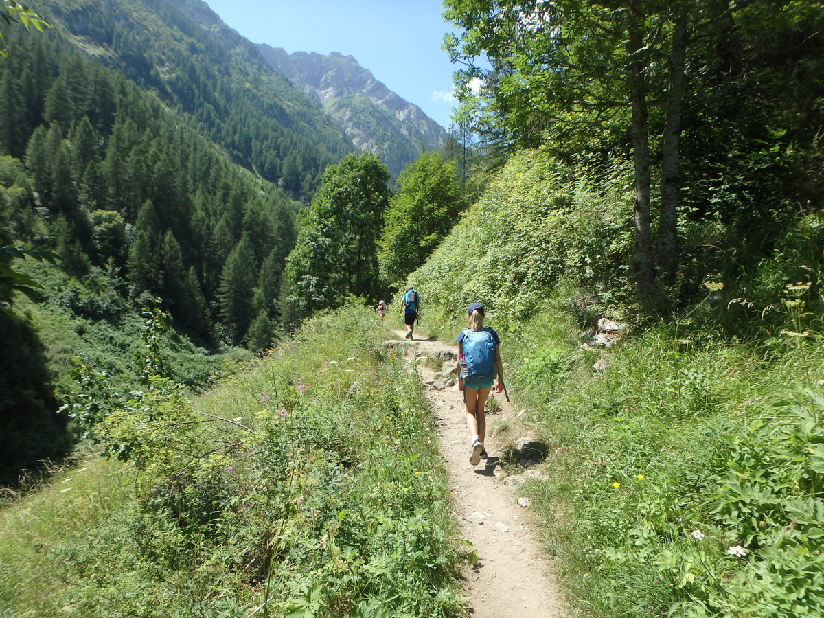
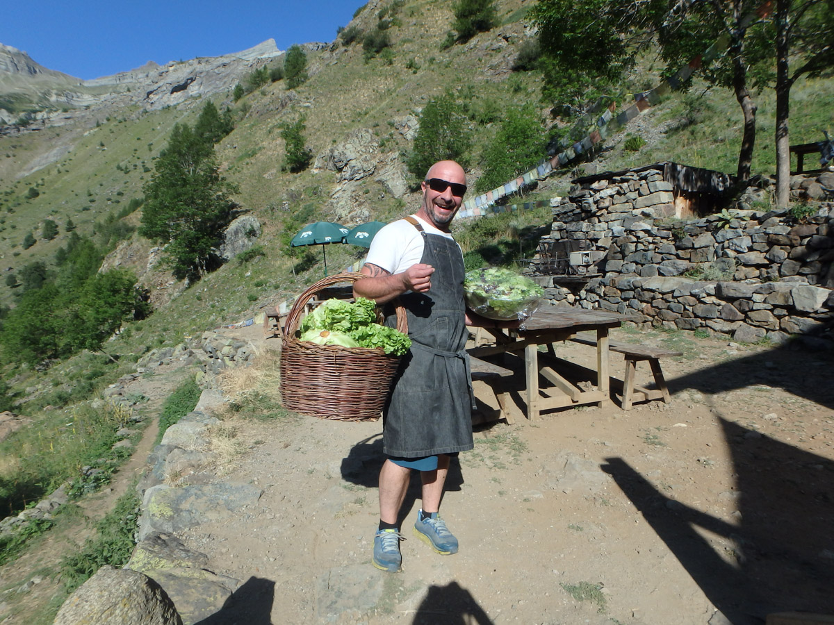
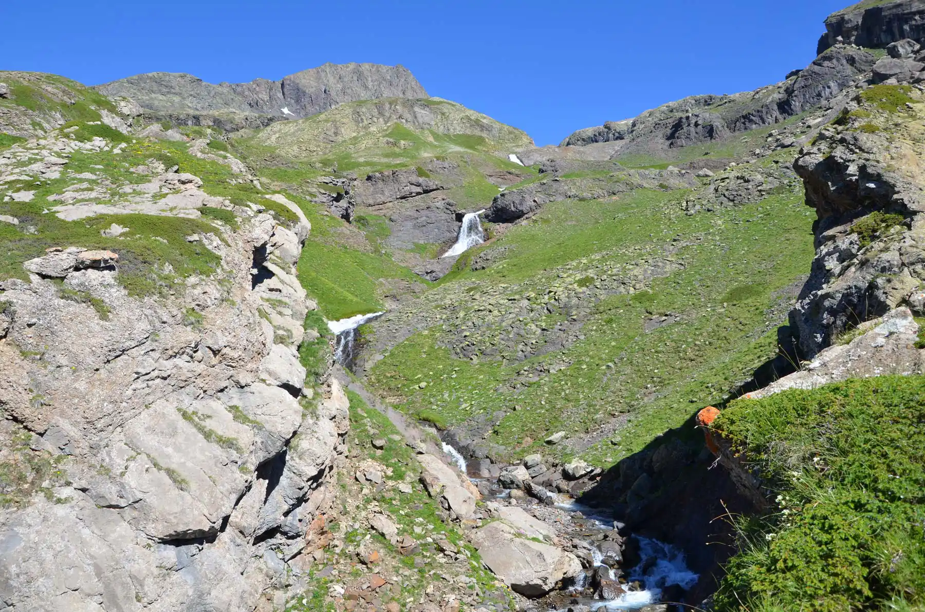
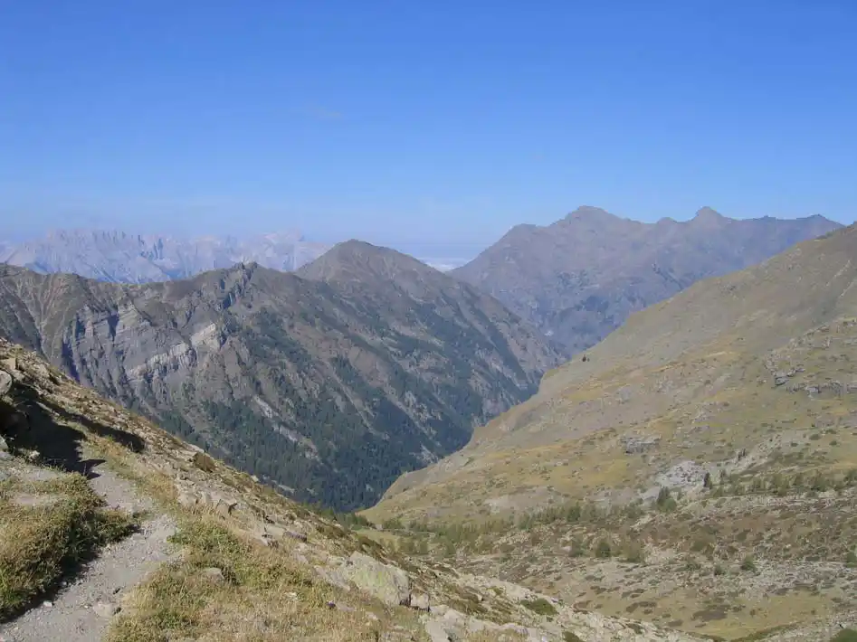
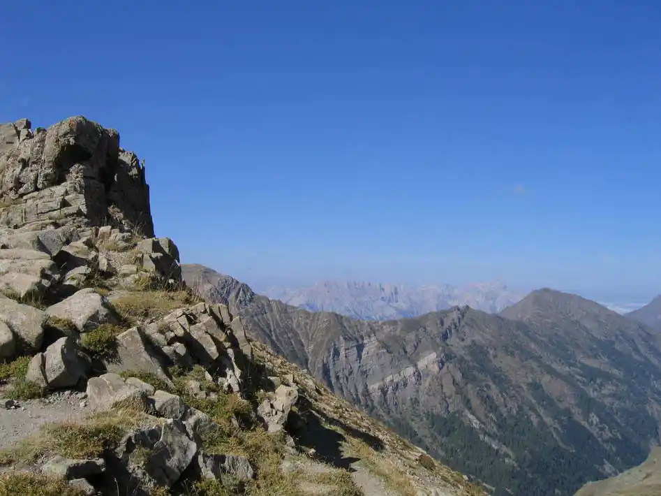
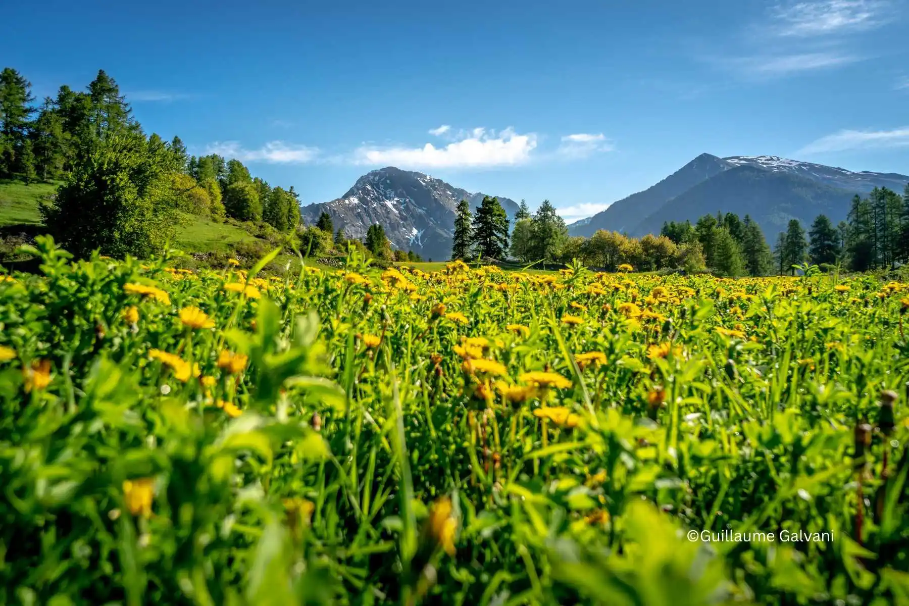
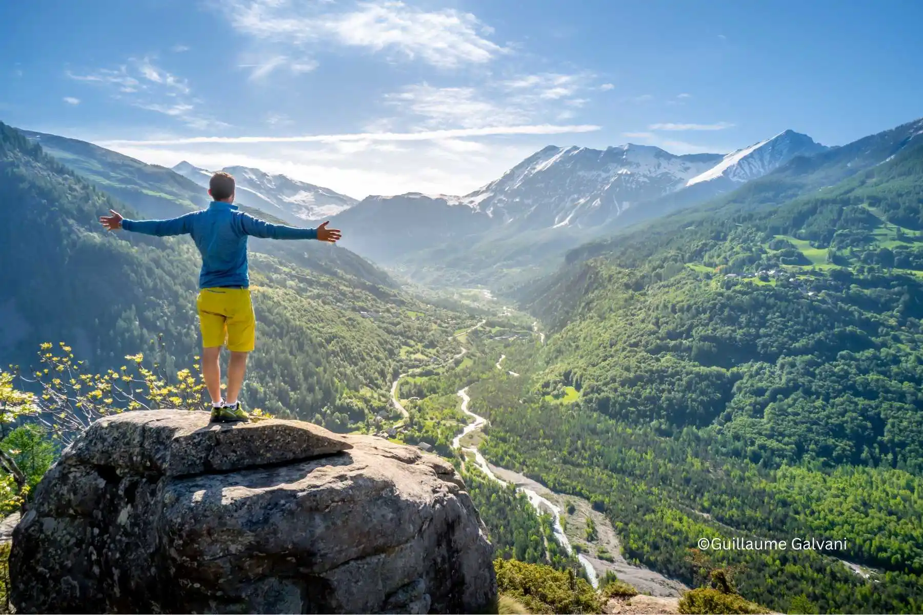
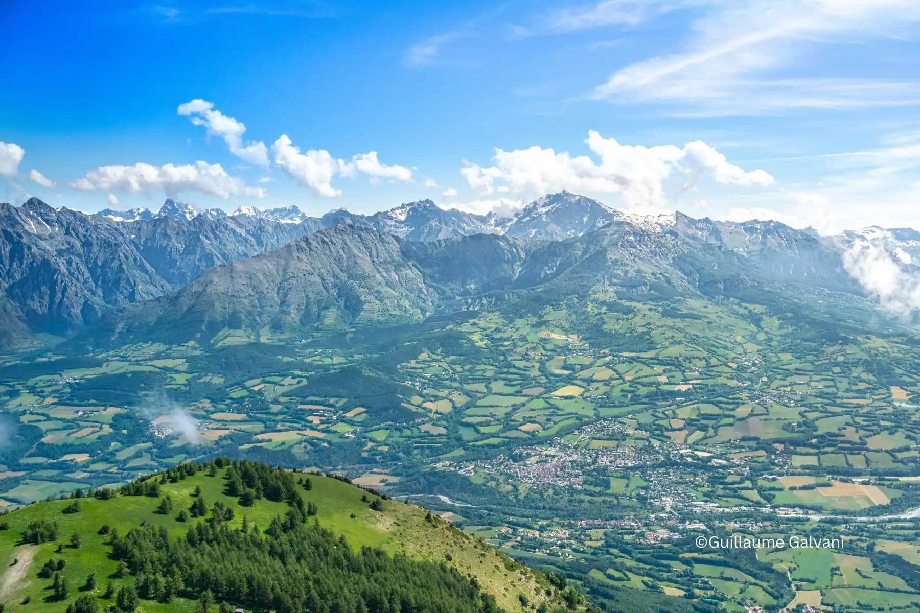
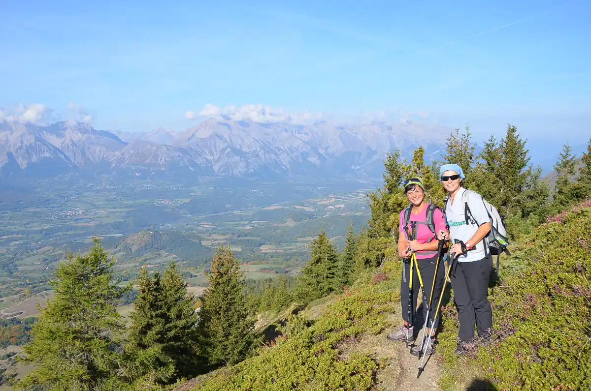
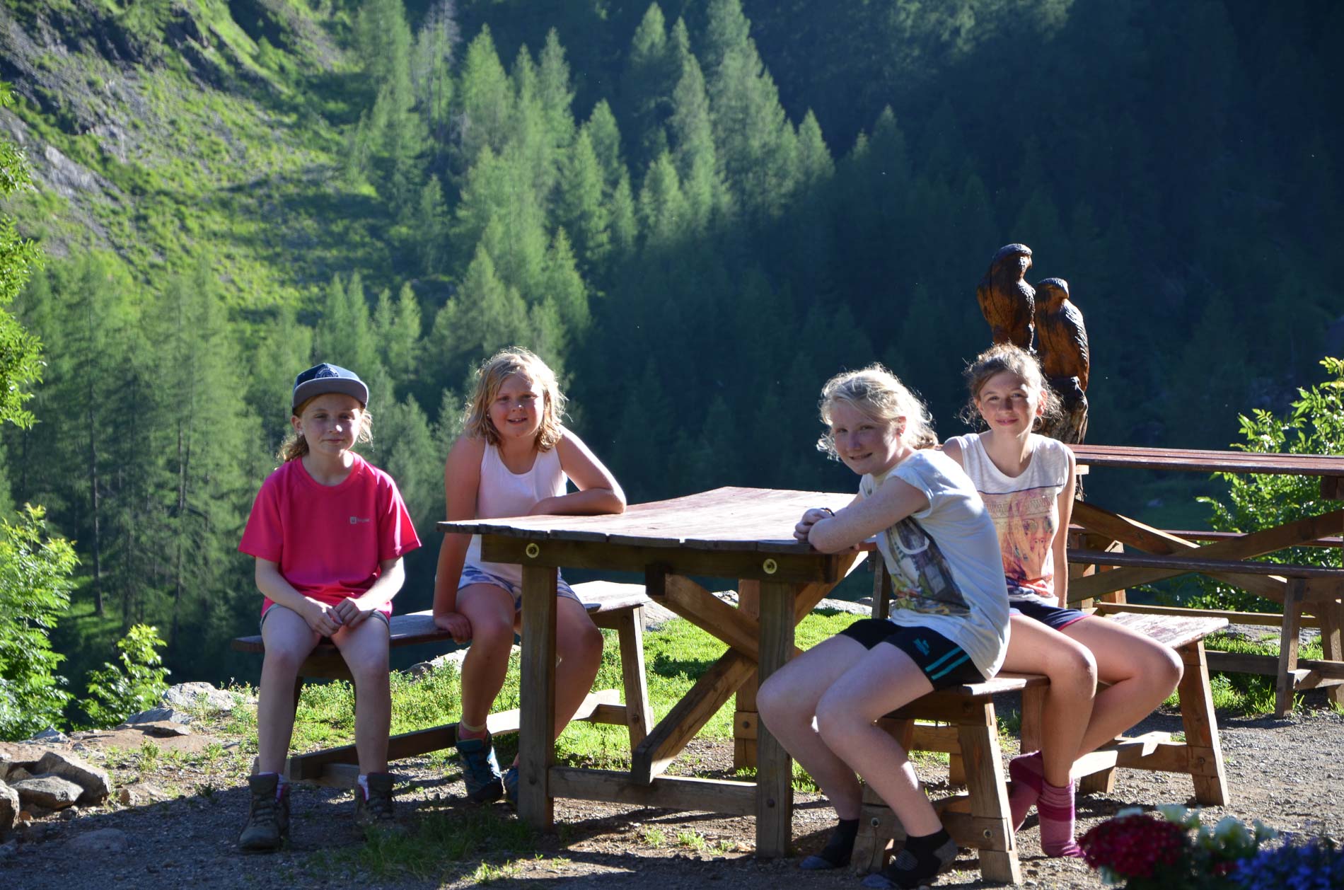
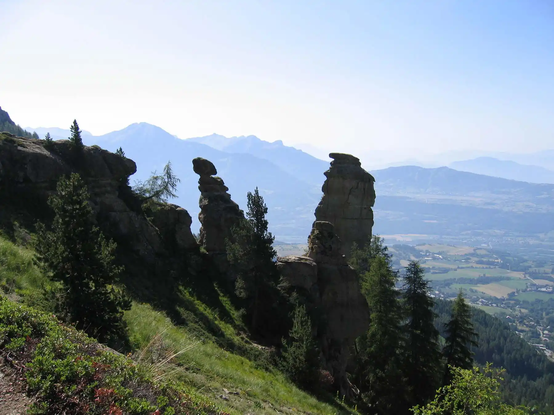
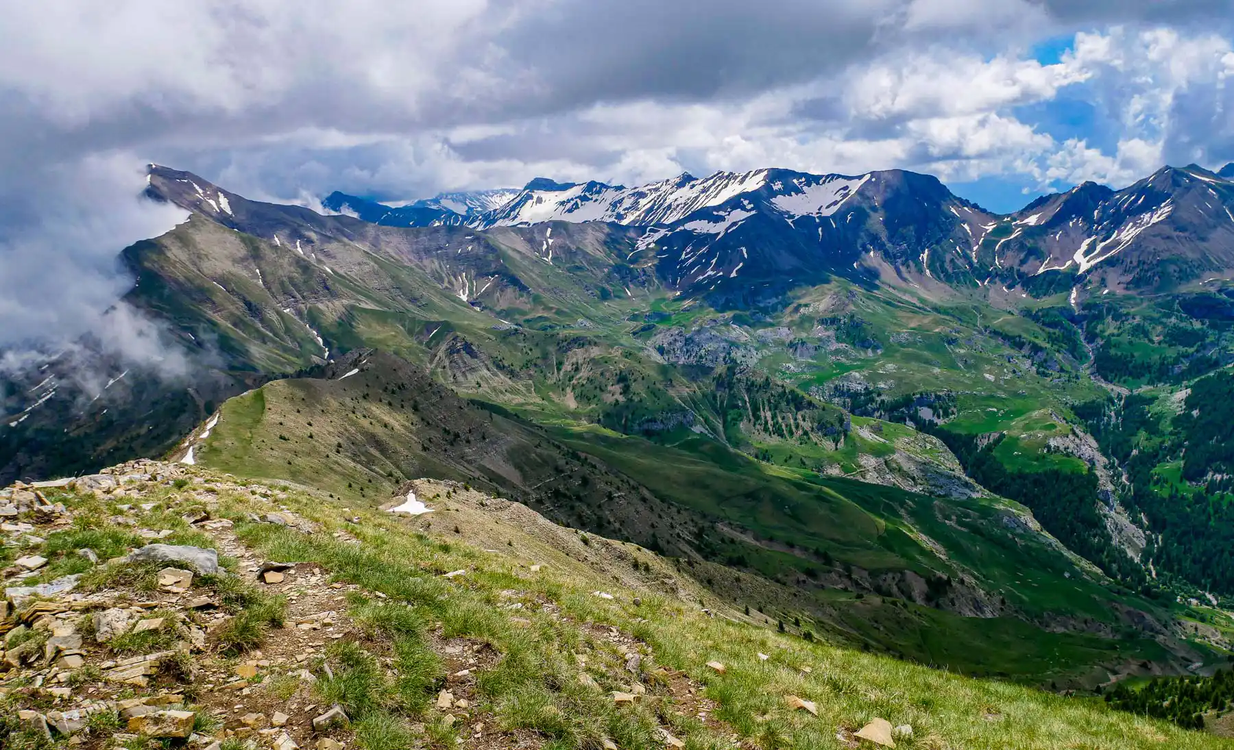
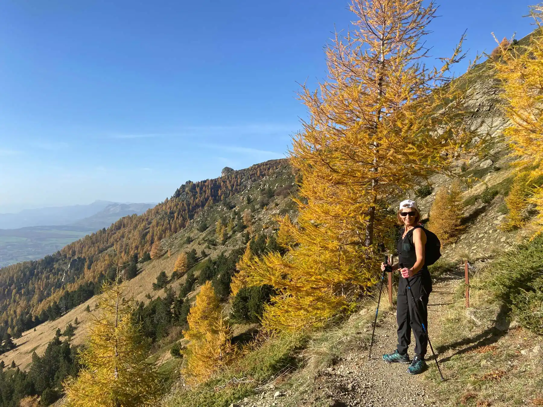
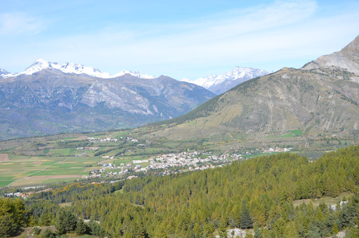
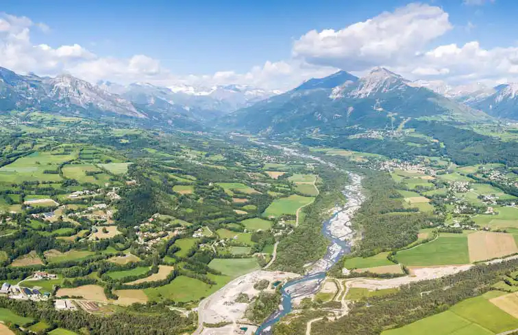
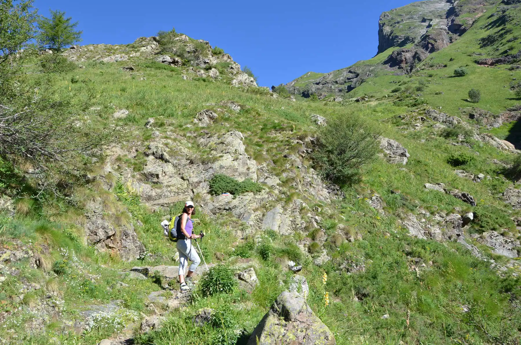
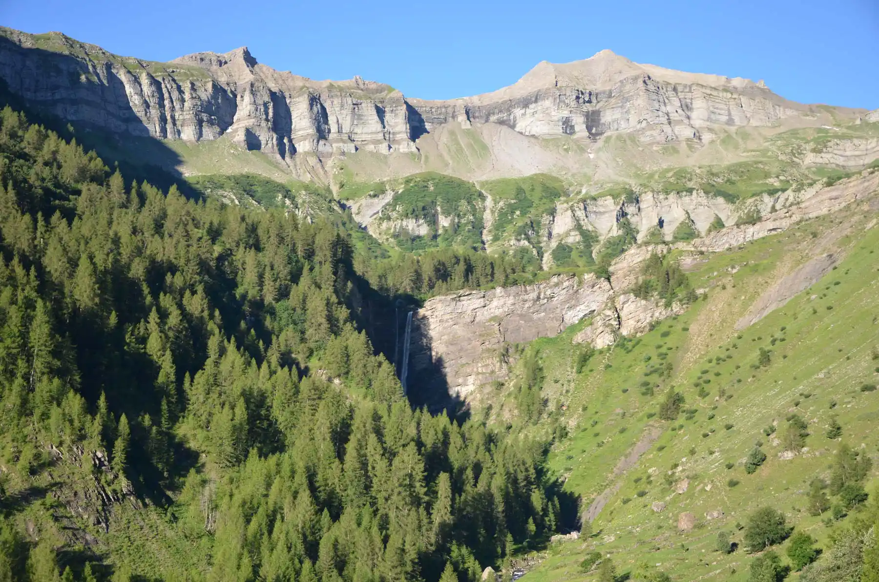
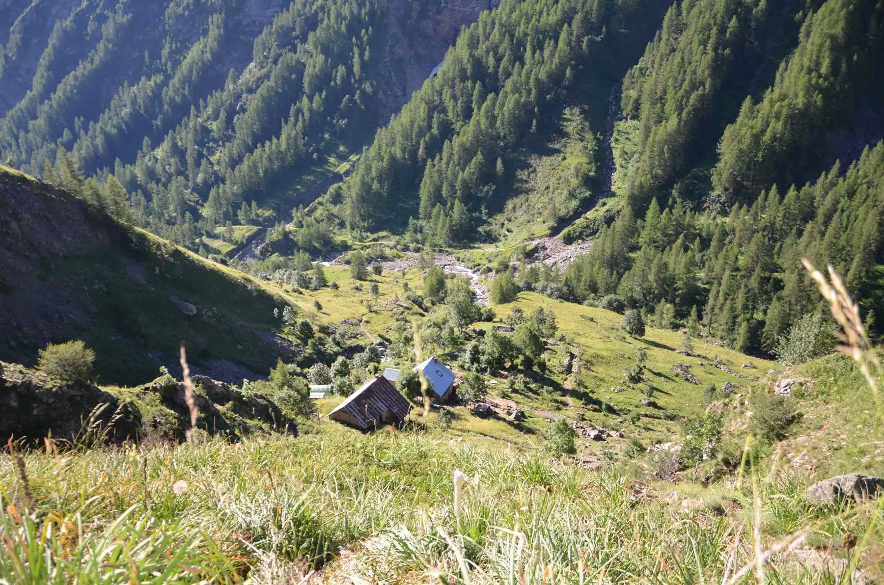
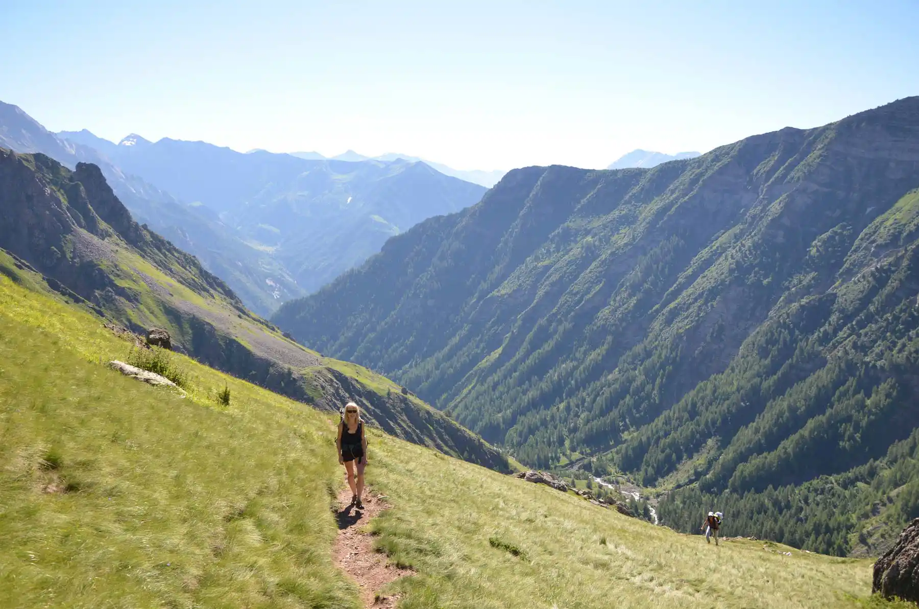
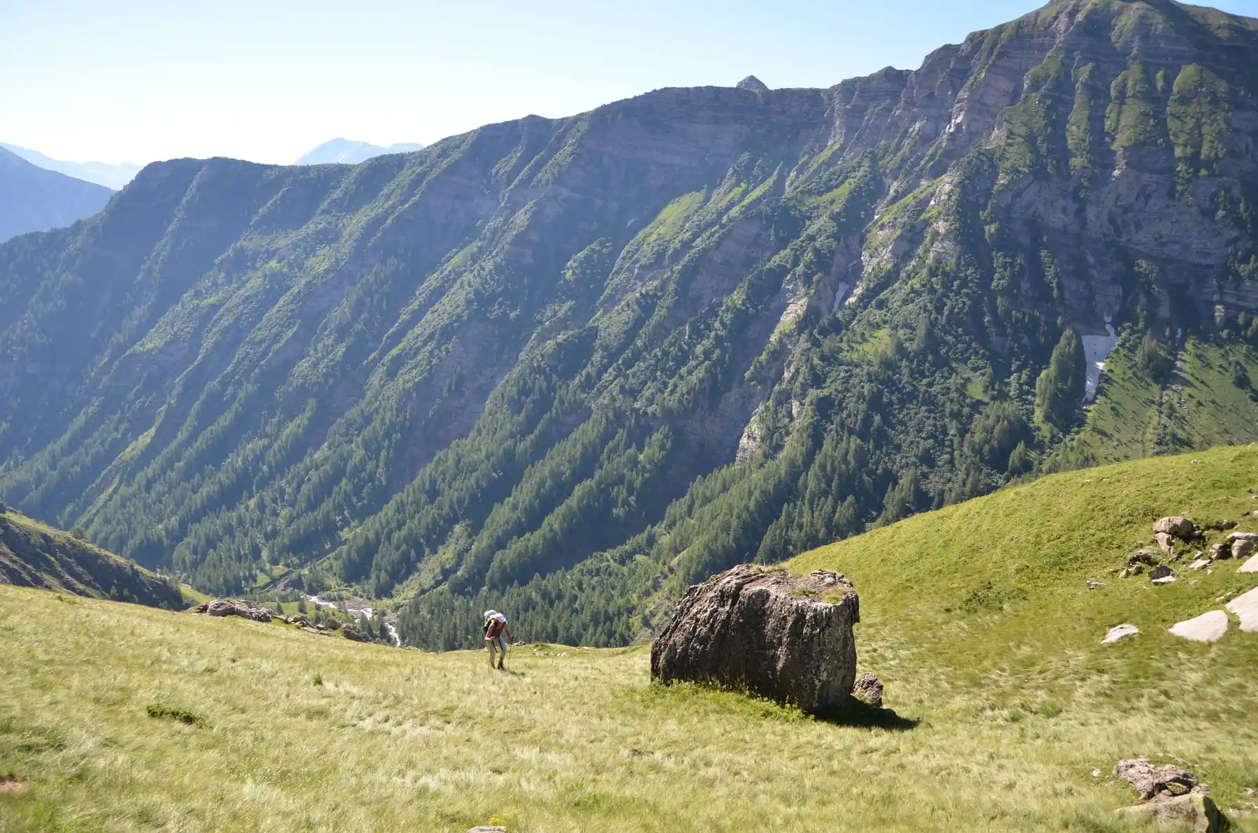
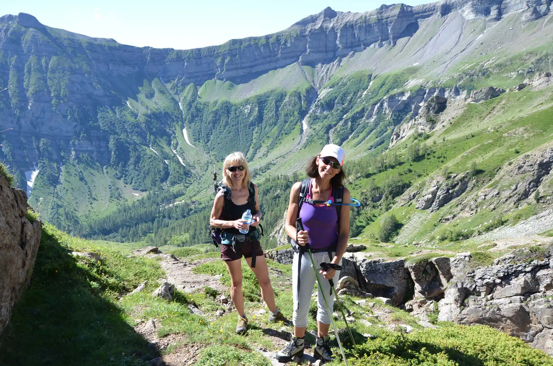
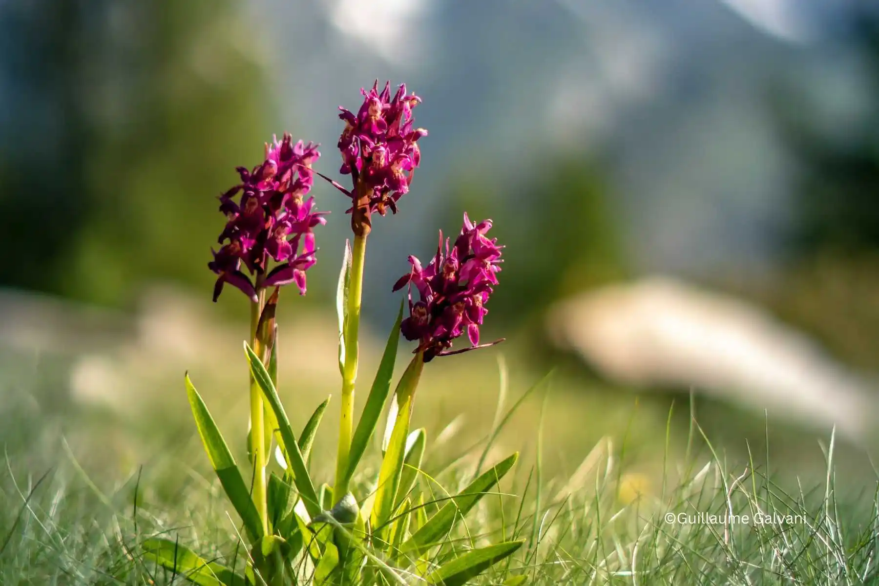
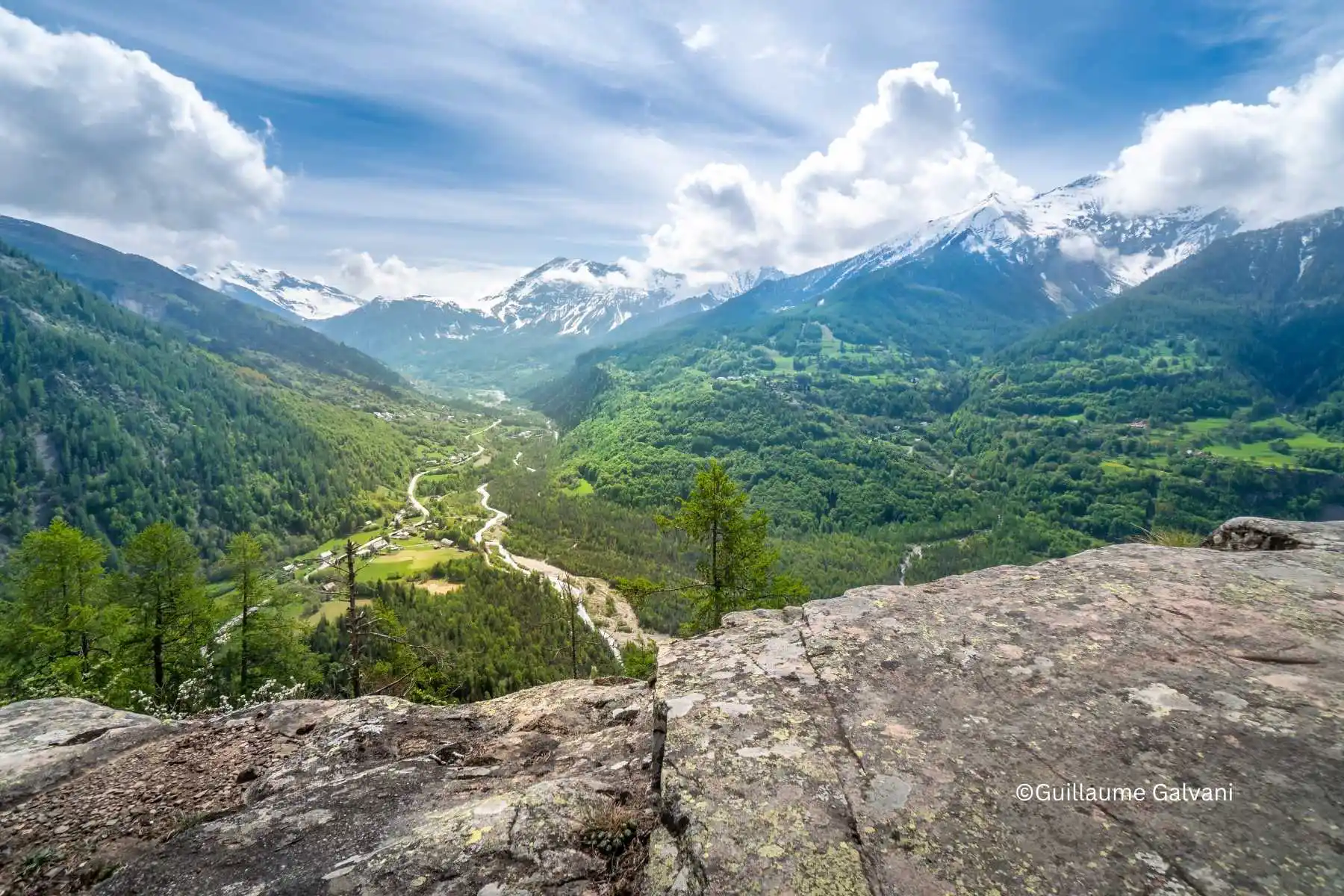
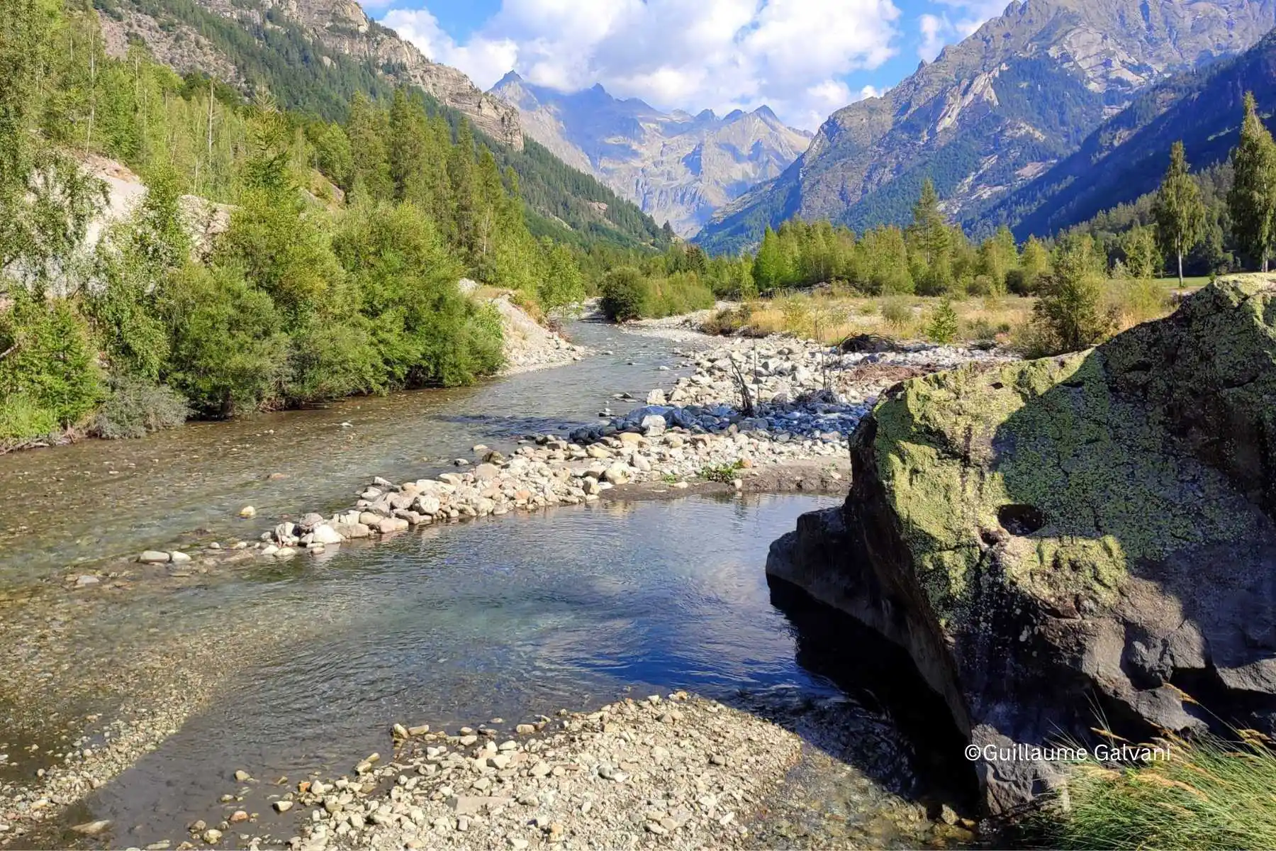
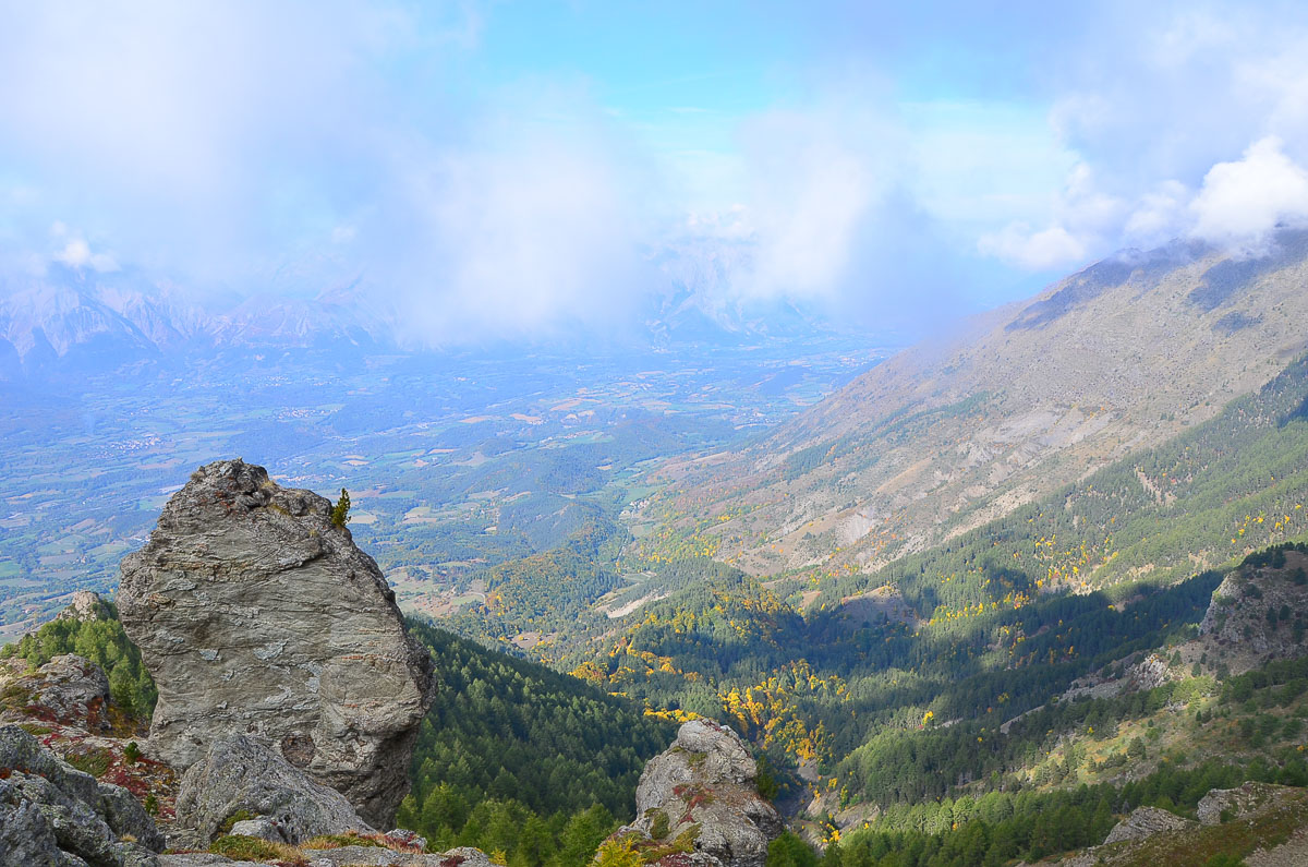
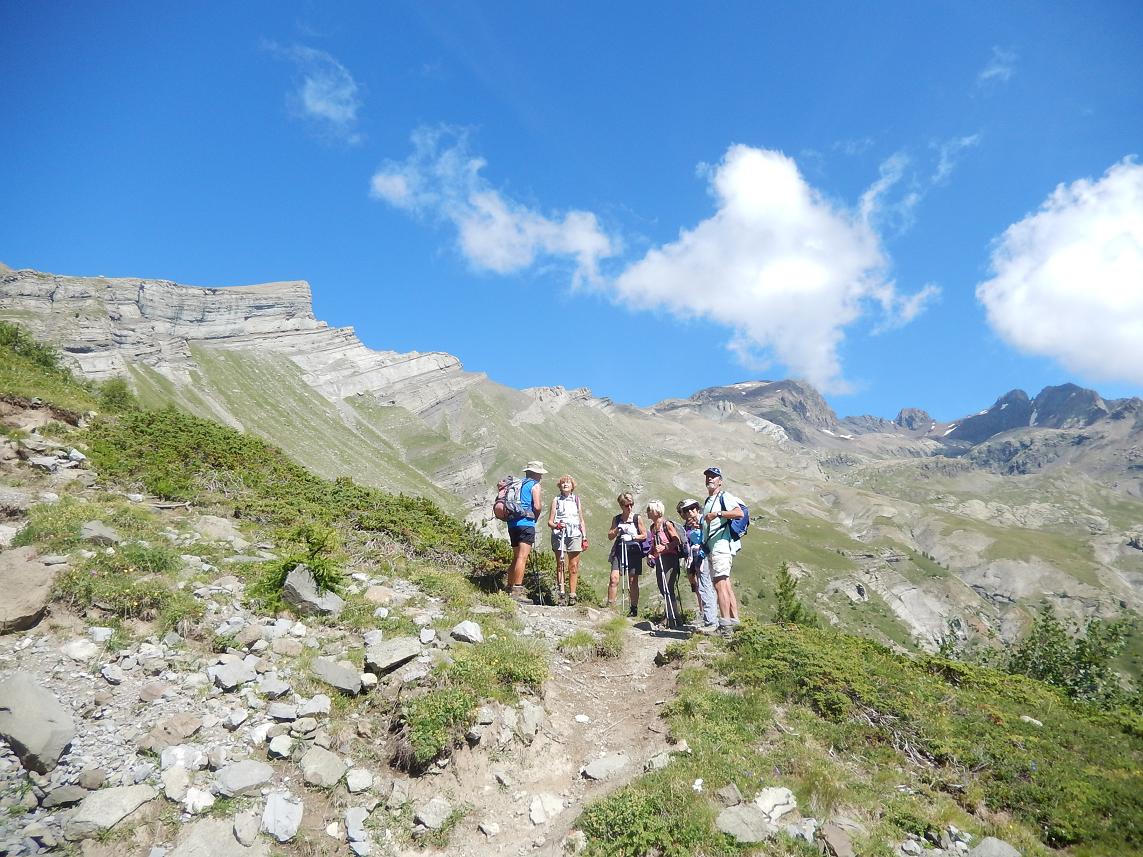
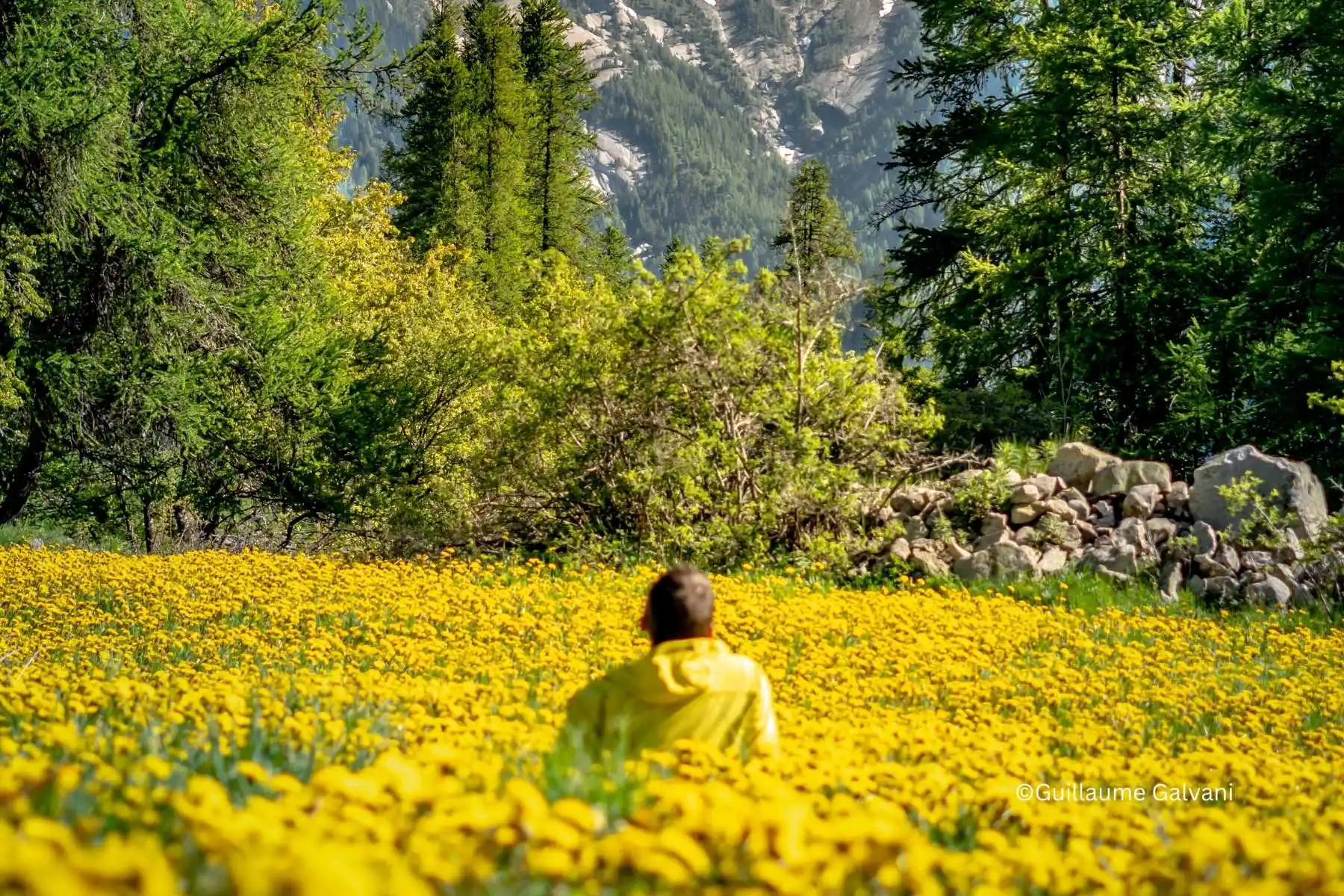
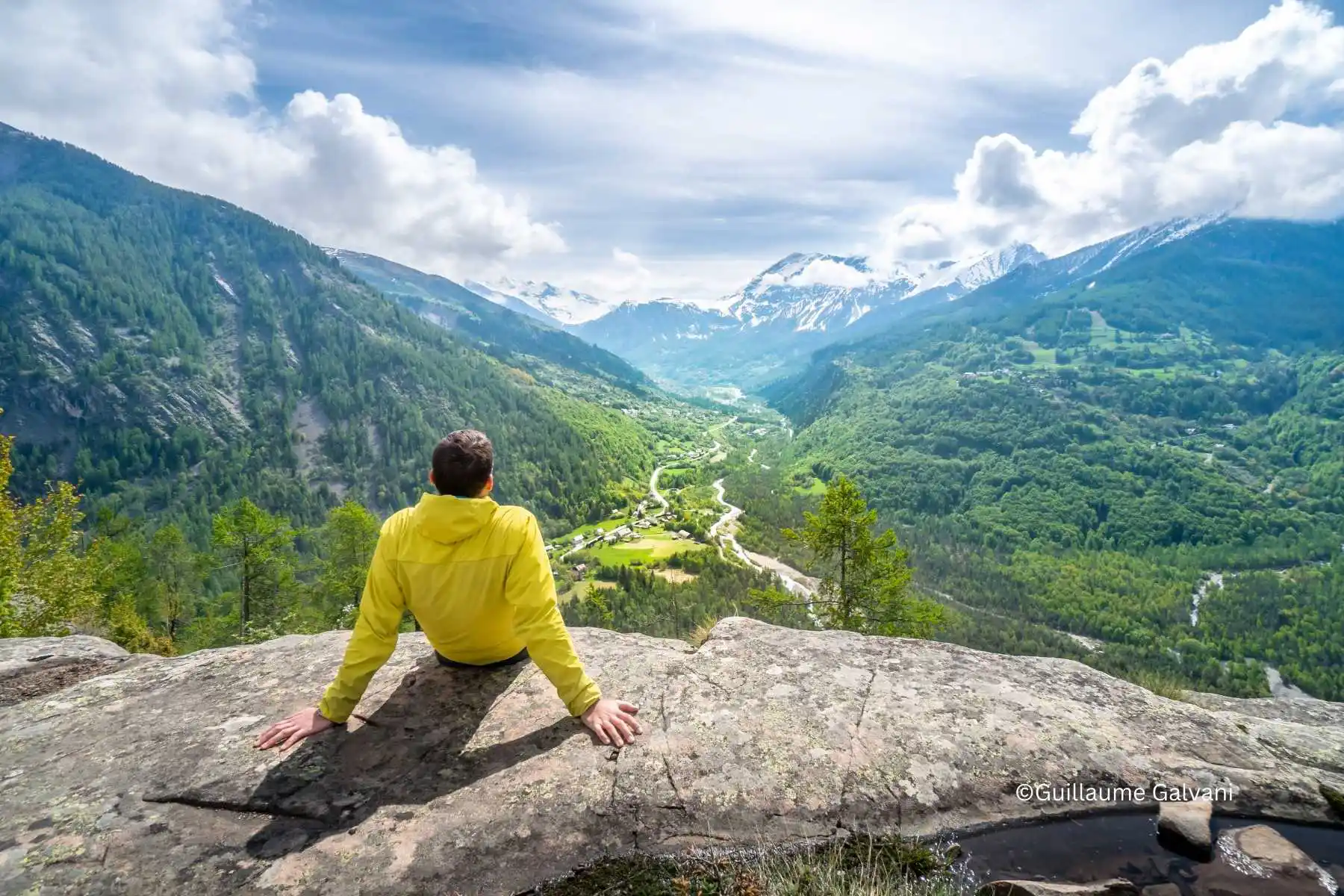
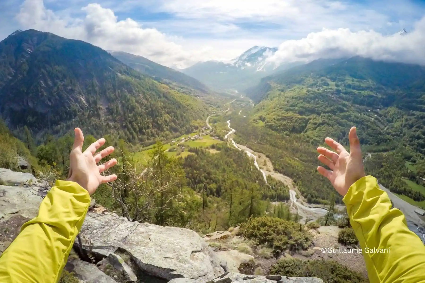
Discover the enchanting and little known Champsaur Valley with our carefully crafted self-guided hiking holiday. This package offers you the freedom to explore at your own pace while we handle the logistics. We provide GPX tracks, detailed walking maps, and baggage transfers to ensure a seamless experience as you hike. Each segment of the route has been handpicked to offer a varied and intriguing hiking experience, promising breathtaking landscapes and cultural enrichment.
The Champsaur Valley:
The Champsaur Valley, gracefully poised on the southern edge of the Ecrins National Park in the Southern French Alps, serves as an idyllic setting for a self-guided hiking holiday. Renowned for its genuine Alpine farming practices and charming traditional villages, the valley offers a deeply enriching cultural and natural experience. Its distinctive bocage landscape, marked by fields enclosed by hedges, not only provides vital soil protection but also creates diverse habitats for local wildlife, thus boosting the area's biodiversity.
Unlike some of the more austere and rugged Alpine valleys, Champsaur's mountains are open and welcoming, offering a less daunting and more varied hiking experience. This accessibility allows for a broad spectrum of hiking opportunities, from leisurely walks along historical canal paths to more demanding ascents leading to expansive vistas. We have chosen a selection of varied hikes for this tour so that you can experience this diversity from mountain summits to riverside paths and immerse yourself in the local culture as you hike.
We’ve carefully selected our favourite walks and hikes, showcasing the most beautiful parts of the Champsaur valley so you can immerse yourself in the alpine beauty and also gain an insight into the local culture, authentic alpine villages and food on your tour.
After booking, we’ll provide you with a smartphone app featuring GPX tracks and descriptions of each walk, along with other useful information about the valley and your holiday including kit list, weather and more. We will also provide you with paper maps which will be waiting for you at your accommodation on your arrival day.
The route is varied with a mixture of easy and tough days and different styles of walking.
There are also options to extend or shorten some of these hikes along the way and we are available for office support throughout your trip if you need any advice or help to do this.
During your Tour of Champsaur walking adventure, you can travel light each day as your main luggage will be transferred between accommodations for you. The only exception is your night at the Tourond mountain refuge, where there is no car access. On that day, you’ll carry just what you need overnight and we’ll share tips to keep it minimal (you won’t need a sleeping bag, just a sleeping bag liner, a spare thermal layer, toothbrush and underwear).
We allow a maximum of two bags per person. Your luggage will be collected from your accommodation after 10:00 and delivered to your next stay before 16:00. To ensure smooth handling, please label each bag clearly with your name.
We also recommend carrying a small day rucksack each day with the essentials: water, a picnic, a spare layer, a waterproof or windproof jacket, and a basic first aid kit.
Our self-guided walking holiday offers you the freedom to explore the stunning Champsaur Valley at your own pace. To ensure you have the best experience, we provide detailed paper IGN maps and GPX tracks to help guide you on your adventure. While some points of interest, such as the summit of Le Cuchon and the Refuge du Tourond, are signposted, other sections of the route will require navigation using the maps and GPX tracks.
We highly recommend spending some time marking your route on the paper maps with a highlighter pen before setting off. This simple preparation helps you become familiar with your journey and reduces reliance on your phone or GPS device. Make sure you have a compatible device to read the GPX tracks, such as a Garmin GPS or a smartphone app (we recommend Openrunner or Iphigenie).
We are here to support you every step of the way! If you have any questions or need assistance during your walk, our friendly office team is just a call away. Whether you need advice on trails or help with logistics, we are available at the end of the phone.
We will collect you from Gap train station on your arrival (between 8h and 19h) and take you up to your accommodation in the pretty Alpine village of Ancelle, nestled in the heart of the Champsaur Valley.
Take some time to explore the village and soak in the alpine atmosphere.
If this day coincides with a Sunday, it is market day in Ancelle so a great opportunity to have a browse and do a bit of local shopping before heading off for your hike.
Today's walk is a beautiful circular warm-up walk to the Croix de St Philippe through serene woodlands and a scenic ridge with breathtaking views over Gap and the Champsaur Valley.
Distance: 10.45 km Ascent:423 m Descent: 424 m Highest point: 1699 m Lowest point: 1323 m Terrain: road, forest track, and trail.
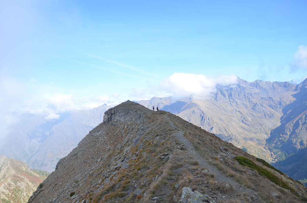
Embark on this on a rewarding and challenging hike to the summit of Le Cuchon. The trail starts from Ancelle and takes you through a mix of woodland and alpine pastures before reaching the summit, which offers awe-inspiring panoramic views over the surrounding valleys. From the peak, you can continue along the dramatic rocky ridge before descending through the famous larch forest of St Léger Les Mélèzes, known for its towering, golden-needled trees. Explore the charming village of St Léger Les Mélèzes, which has retained its traditional mountain character.
Distance: 12.72 km Ascent: 628 m Descent: 724m Highest point: 1973m Lowest point: 1253m Terrain: Rocky ridges, forest trails, and village paths.
Today you have two options, depending on how you feel.
OPTION 1:
After yesterday's challenge, today you can enjoy a gentle and scenic walk from St Léger Les Mélèzes to the Base de Loisirs in Orcieres following the ancient canal path. This picturesque route meanders alongside the river, offering tranquil views of the valley and surrounding peaks. It’s an ideal day to immerse yourself in the peaceful mountain atmosphere. At the end of the route, when you arrive at the Base de Loisirs there is a beautiful swimming make so the perfect opportunity for a fresh water dip before settling down for the evening.
Distance: 12.28 km Ascent: 186 m Descent: 142 m Highest point: 1294 m Lowest point: 1163 m Terrain: Canal path, river trails, back roads and village paths.
OPTION 2:
This route is another satisfying challenge, taking you up to the GR50, which then winds along the balcons above the Champsaur valley through the woods. On the north-facing side, it’s ideal for a shadier walk away from the summer sun, with spectacular views across the valley. Along the way you’ll discover the ancient shepherd’s hut of Tante Yvonne — a lovely spot for a picnic break. You’ll also pass through the charming alpine village of Serre Eyraud, one of the original small ski resorts, where it truly feels like stepping back in time with the old infrastructure still in place. Finally, you’ll descend into the valley and follow the river, finishing at the Base de Loisirs and its beautiful swimming lake, perfect for cooling off and refreshing tired legs.
Distance: 17.96 km Ascent: 815 m Descent: 774 m Highest point: 1893 m Lowest point: 1253 m Terrain: Mountain foot paths, back roads and forest pistes
EXTRA NIGHT OPTION:
During the months of July and August (when the ski lifts are open), we highly recommend adding on an additional night at the Base de Loisirs and taking the free shuttle and then the ski lift up to the top of the resort of Orcieres to 2642m and doing the high altitude mountain lakes walk, the six lakes, which meanders down the mountain passing 6 stunning high altitude lakes. If you would like to add this on, please just ask us when you book and we can adapt the itinerary with the extra night for you.
Today is a big adventure and a real journey through Alpine history. You’ll set out on a beautiful walk to the Refuge du Tourond, tucked away in a spectacular mountain setting. The trail leads you into the Champoléon valley, passing the hamlet of Les Borels, home to the Shepherd’s Museum. If you have time, it’s well worth a quick visit on the way through - it offers a fascinating insight into the valley and the shepherding culture of the Alps. From here, the path winds up a dramatic valley, following the river with a few perfect spots to cool your feet. Keep an eye out for wild raspberries and gooseberries along the trail.
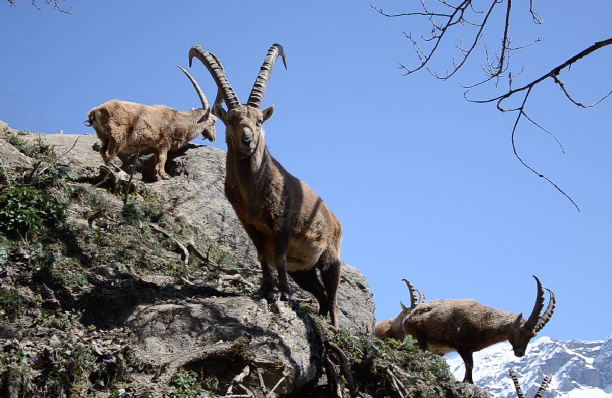
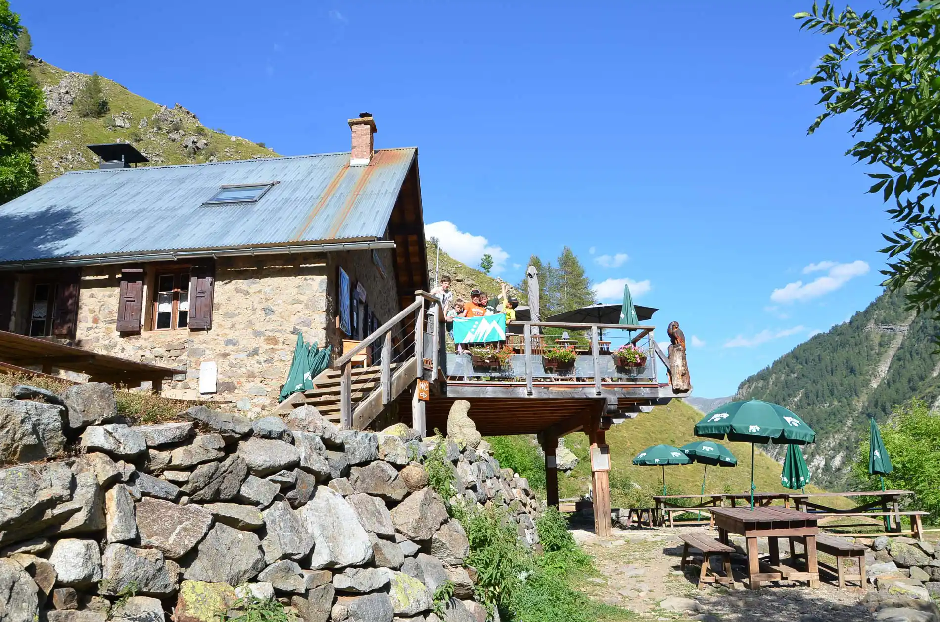
The refuge itself is an old shepherd’s hut, lovingly transformed into a remote mountain haven. It was the life’s work of Stéphane, who retired in 2025 and handed over this little marvel to David, who continues with the same passion and warmth to make each stay special. It’s the ideal place to unwind with a well-earned apéritif, soak up the views, and perhaps spot local wildlife such as marmots and ibex. If you still have energy, you can add a short walk to the beautiful La Pisse waterfall or simply enjoy the tranquillity before dinner.
Spending the night in a mountain refuge is a truly unique experience: no mobile signal, no Wi-Fi, and simple resources (solar-powered electricity). Just you, the mountains, and the people you’ll meet along the way - the perfect setting for shared meals, card games, good conversation, and a real sense of peace in nature. You'll stay in dormitory accommodation and enjoy a shared meal with the other guests. There is (exceptional for a mountain refuge) the option of a hot shower!
Distance: 12.9 km Ascent: 520 m Descent: 141 m Highest point: 1680 m Lowest point: 1019 m Terrain: Meadow paths, forest tracks, and alpine trails.
Leaving the Refuge du Tourond behind, today’s walk feels like a classic mountain crossing: a well-trodden trail that takes you from the wild, dramatic folds of the Champoléon valley over to the gentler pastures above Chaillol. You begin by crossing the Tourond torrent, then climb steadily on the shady side of the valley through airy larch woodland before emerging into open ground at Planure — a wide, grassy “plateau” that gives you a real sense of space. From here the path steepens as it climbs a glacial step in short zigzags, then traverses beneath the Pointe Sud de la Vénasque before weaving through scree and alpine terrain to reach the Col de la Vénasque (2,487 m).
The views from the col are superb: behind you lie the high valleys of Champoléon and the Tourond basin, while ahead the landscape opens towards the Champsaur and, on clear days, you can pick out the Dévoluy to the west and the Écrinsskyline to the east — a wonderful “big picture” moment in the itinerary.
The descent into Chaillol starts gently on grassy slopes, then continues across a series of ravines and rocky outcrops before dropping back into larch forest. You’ll rejoin the GR50 near Les Cabanes, then follow the trail down in easy, wide switchbacks to Chaillol 1600 — with plenty of time to appreciate the change in scenery from high, mineral mountains to greener alpine pastures. As always, staying on the marked path and keeping noise low helps protect local wildlife and fragile habitats along the way.
Added advantage for tonight's accommodation, there is a spa just next door. We can book you in for a spa if you would like for your arrival - just ask when you make your booking.
Distance: 14 km Ascent: 842 m Descent: 1042 m Highest point: 2476 m Lowest point:1079 m Terrain: Rocky outcrops, alpine footpaths and forest trails.
Your final hike of the tour is a picturesque loop to the Col du Viallet, ascending through mixed forest and rocky terrain. Starting on the road you walk up out of the village from the Auberge and pick up the access path to the GR50 (on your right). This gradually climbs up through the forest and joins the main piste for the GR50 on a hairpin (you continue up bearing right at this hairpin) and follow this piste bearing left at the junction. There is a signpost for Col du Viallet there.
Continue on this piste which traverses around the mountain until you see a sign for the col du Viallet off to your right. This takes you onto a smaller footpath gradually climbs to the col, where breathtaking views await, offering a fitting conclusion to your alpine adventure. The varied terrain and lush forests make this a diverse and engaging hike, perfect for reflecting on the past week’s adventures.
Come back down the same way.
Distance: 12 km Ascent: 760 m Descent: 760 m Highest point: 2209 m Lowest point: 1459 m Terrain: Mixed forest, rocky outcrops, and alpine meadows.
Today is the sad day we say goodbye but hopefully it will be more of a see you soon. We hope you are going home with some wonderful memories to cherish forever.
Our taxi will come and collect you at your accommodation to take you to Gap.
Who will love this trip?
This self-guided hiking trip in the Champsaur Valley is perfect for those who cherish the blend of adventure and culture in the great outdoors. Nature lovers and wildlife enthusiasts will be drawn to the diverse flora and fauna, while cultural aficionados will appreciate the traditional Alpine farming practices and the historic charm of the valley’s villages. Photography enthusiasts will also find endless inspiration in the scenic landscapes and panoramic views. Moreover, those seeking a sustainable travel option that allows for deep immersion in local traditions without the rush of typical tourist trails will find this trip particularly rewarding.
You will need to be a regular walker with a good level of fitness to enjoy this trip. The itinerary includes hikes with reasonable daily distances and ascents that are interspersed with less demanding routes, allowing you to recover and enjoy the scenery without feeling overwhelmed. This approach ensures that while there are days that will challenge your stamina and hiking skills, there are also ample opportunities to stroll, explore, and relax, making it an ideal choice for those seeking an active yet balanced hiking holiday. You can expect to be walking between 10-15km per day with between 250 and 900m of ascent.
Loading accommodation filters...
- Restaurant evening meals and drinks in Gap in the evenings
- Picnic or restaurant lunches (some days will include the possibility of a restaurant lunch and others will require a picnic)
- Your journey to and from Gap
- Tips for the guide
A great walking holiday in a beautiful part of the Alps, a good mixture of challenging (but not overly strenuous) walking, fantastic views and welcoming hotels with excellent food. We particularly enjoyed spending at a n…
We thoroughly enjoyed our six days' walking in the thrilling landscapes of the French alpine foothills. We went in June and the flowers were fantastic. The routes were well-planned, varied and easy to follow; the navigat…
You will need to travel to Gap for the start of the holiday. Gap has an SNCF train station with good links to major TGV stations and airports, and we will collect you there and transfer you to your accommodation.
We offer a 3% discount for guests travelling to Gap by train instead of flying from outside France. Ask us for details when booking.
By train, Gap is reachable from Marseille, Grenoble, Valence TGV and Paris, including an overnight sleeper from Paris. There is also a regular coach connection from Aix-en-Provence TGV.
The nearest airports are Marseille and Grenoble. Marseille is usually the simplest option, with regular direct coaches to Gap, while Grenoble involves an airport shuttle and onward train connection.
Please ask us when you enquire if you would like help choosing the best route.
Explore the scenic Champsaur Valley on a self-guided hike with provided maps, GPX tracks, and baggage transfers for a seamless adventure.
Similar adventures you might like
Other trips at the same difficulty level

Stories from the mountains
Tips and inspiration from our blog